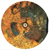
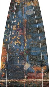
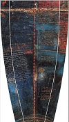
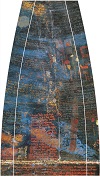
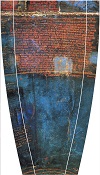
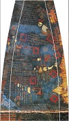
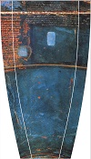
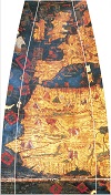
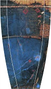
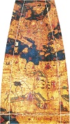
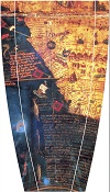
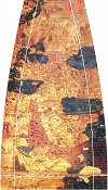
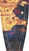
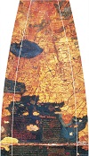
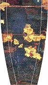
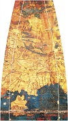
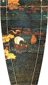
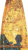
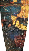
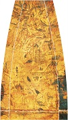
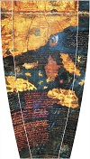
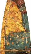
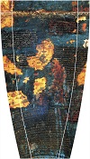
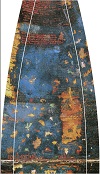
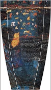
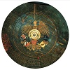
Orthophotographische Globus-Segmente, 30° | Orthophotographic globe gores, 30°
Annotation mit Lesungen der Inschriften
Der älteste erhaltene Globus der Erde von Martin Behaim ist eines der letzten Zeugnisse, der das alte Weltbild mit dem Kenntnisstand vor der Entdeckung Amerikas 1492 abbildet. Neben ca. 2000 Ortsbezeichnungen enthält er 50 längere Inschriften mit verschiedenen Themen: Geographie, Länder und Völker, Flora und Fauna, Monster und Kuriositäten und vor allem wertvollen Handelswaren und Spezereien.
Auf Basis der Lesungen von Ravenstein (1908) und Knefelkamp (ca. 1990, unveröffentlicht) wurden die Transkriptionen im Rahmen eines studentischen Projekts (Chiara Seidl) mit Hilfe des UVic Image Markup Tools annotiert. Die Segmente in der Überblicksdarstellung werden durch Anklicken in Originalgröße angezeigt und machen die Transkriptionen zugänglich.
Auf einer experimentellen Seite sind in gleicher Weise die annotierten Miniaturen auf dem Globus ausgezeichnet (Daniela Koch, s. Koch, D.: Die Miniaturen des Georg Glockendon auf dem Behaim-Globus. Erlangen 2011).
Kurzer Bedienungshinweis: Jede annotierte Stelle ist eingerahmt. Der Rahmen wird sichtbar, wenn die Maus darüber bewegt wird; durch Anklicken wird die Annotation angezeigt. Doppeltes Anklicken bewirkt eine vergrößerte Anzeige des Bildausschnitts. Jede Annnotation hat eine eindeutige Bezeichnung; damit kann kann alternativ die Auswahl auch über Anklicken des Annotation-Fensters rechts oben erfolgen.
Annotation with readings of the inscriptions
The oldest extant globe of the earth by Martin Behaim is one of the last testimonies of the old world view with the state of knowledge before the discovery of America in 1492. Beside approx. 2000 place names it contains 50 longer inscriptions with different topics: Geography, countries and peoples, flora and fauna, monsters and curiosities and above all valuable trade goods and spices.
On the basis of the readings by Ravenstein (1908) and Knefelkamp (ca. 1990, unpublished), the transcriptions were annotated as part of a student project (Chiara Seidl) using the UVic Image Markup Tool. The segments in the overview are displayed in their original size by clicking on them and make the transcriptions accessible.
On an experimental page, miniatures on the globe are marked up in the same fashion (Daniela Koch) [in German only].
Short operating note: Each annotated place is framed. The frame becomes visible when the mouse is moved over it; clicking displays the annotation. Double-clicking causes an enlarged display of the image section. Each annotation has a unique label; this can alternatively be used to select it by clicking on the annotation window in the upper right corner.
Dieses Werk ist lizensiert unter der creative commons license by-nc-sa
Abbildungen/images: Germanisches Nationalmuseum Nürnberg.
