ILLUSTRATIONS
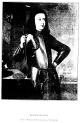
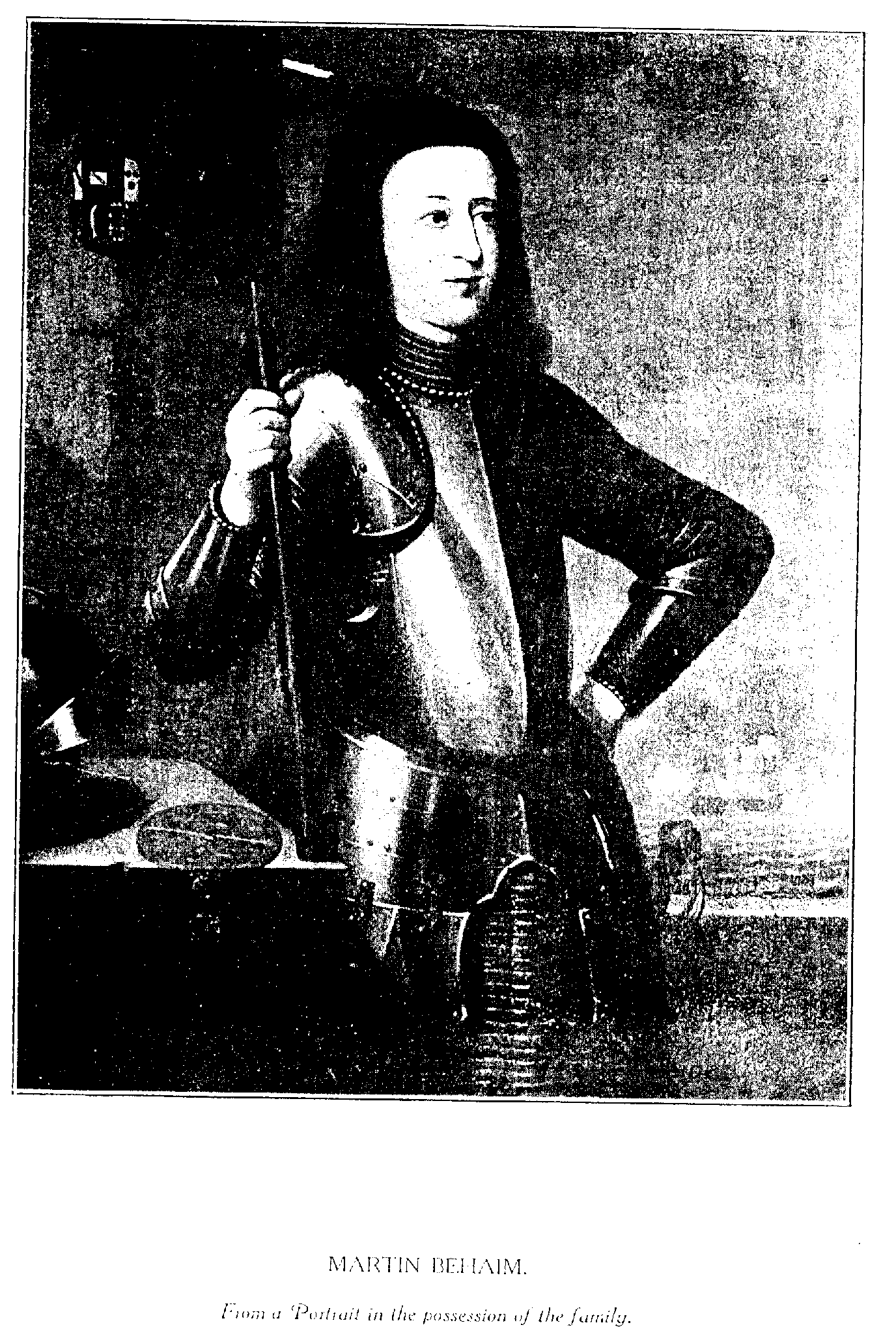
1. Portrait of Martin Behaim. (From a painting in the possession of the family)

2. The arms of Behaim.
(From a block engraved by Albrecht Dürer in the possession of Freiherr
von Behaim)
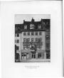
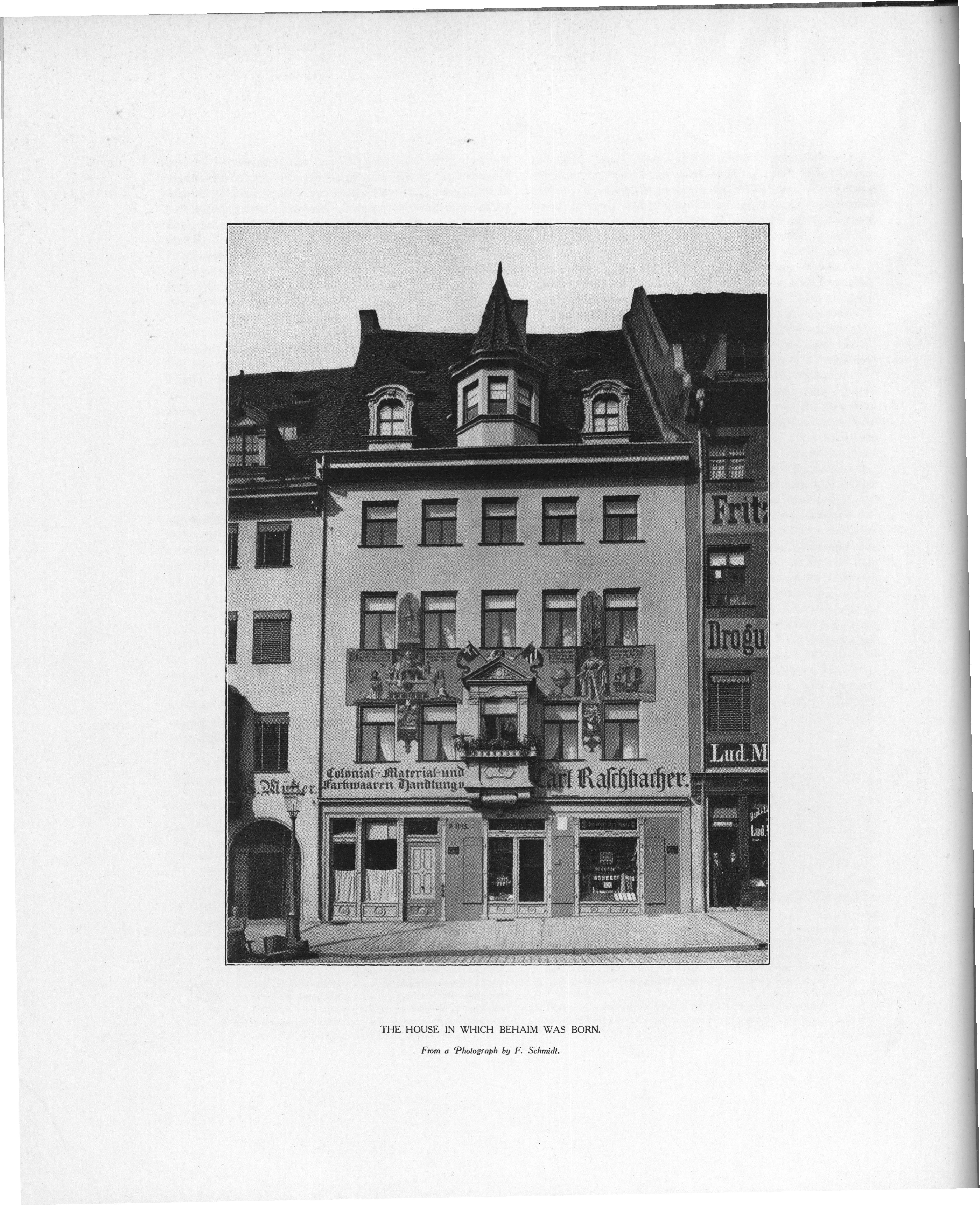
3. The house in which Behaim was born.
(From a photograph by F. Schmidt)
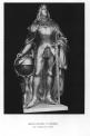
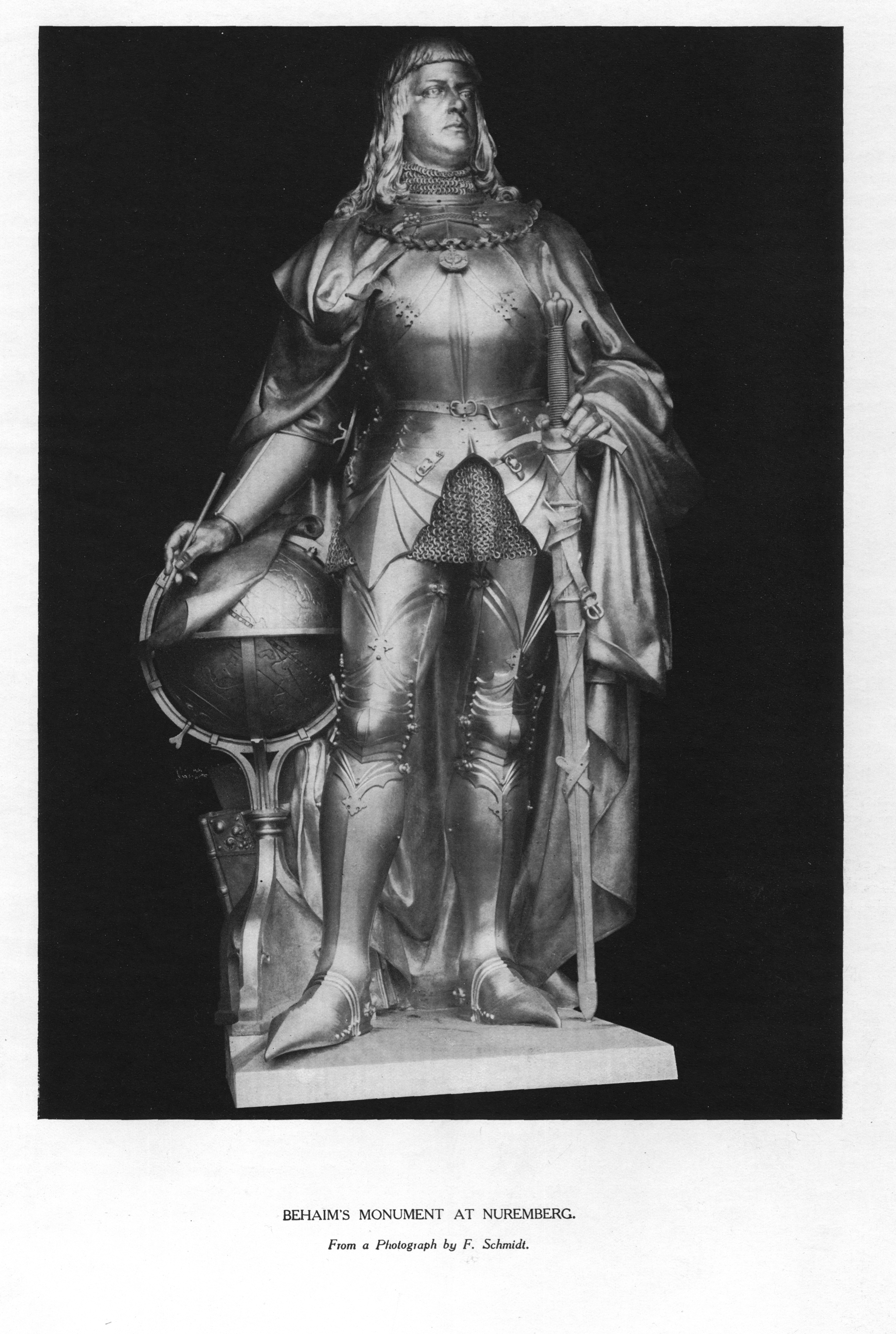
4. Behaim's monument at Nuremberg.
(From a photograph by F. Schmidt)

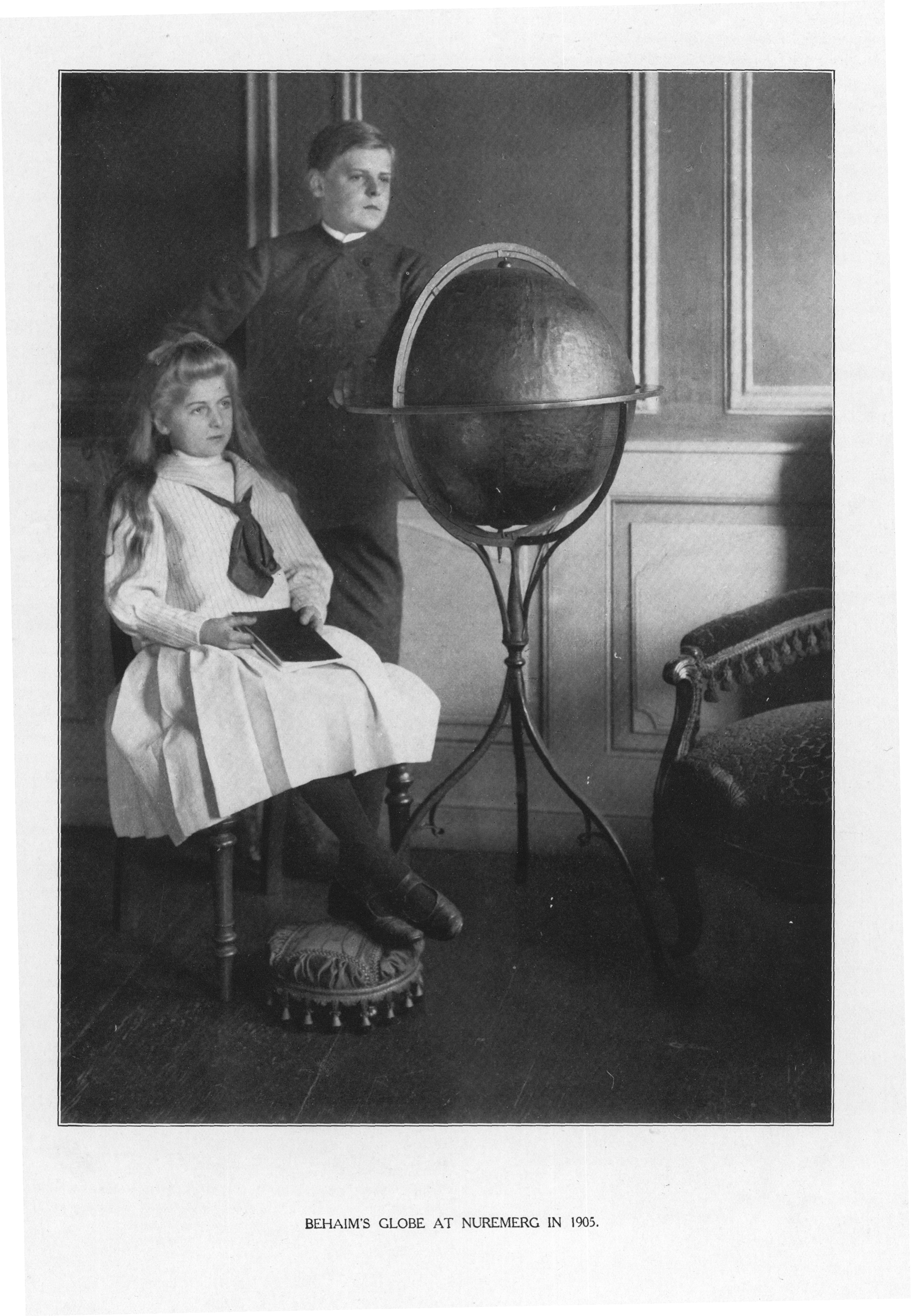
5. The Globe at Nuremberg in 1905.
(From a photograph taken by the kind permission of Freiherr von Behaim in 1905)
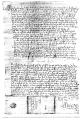
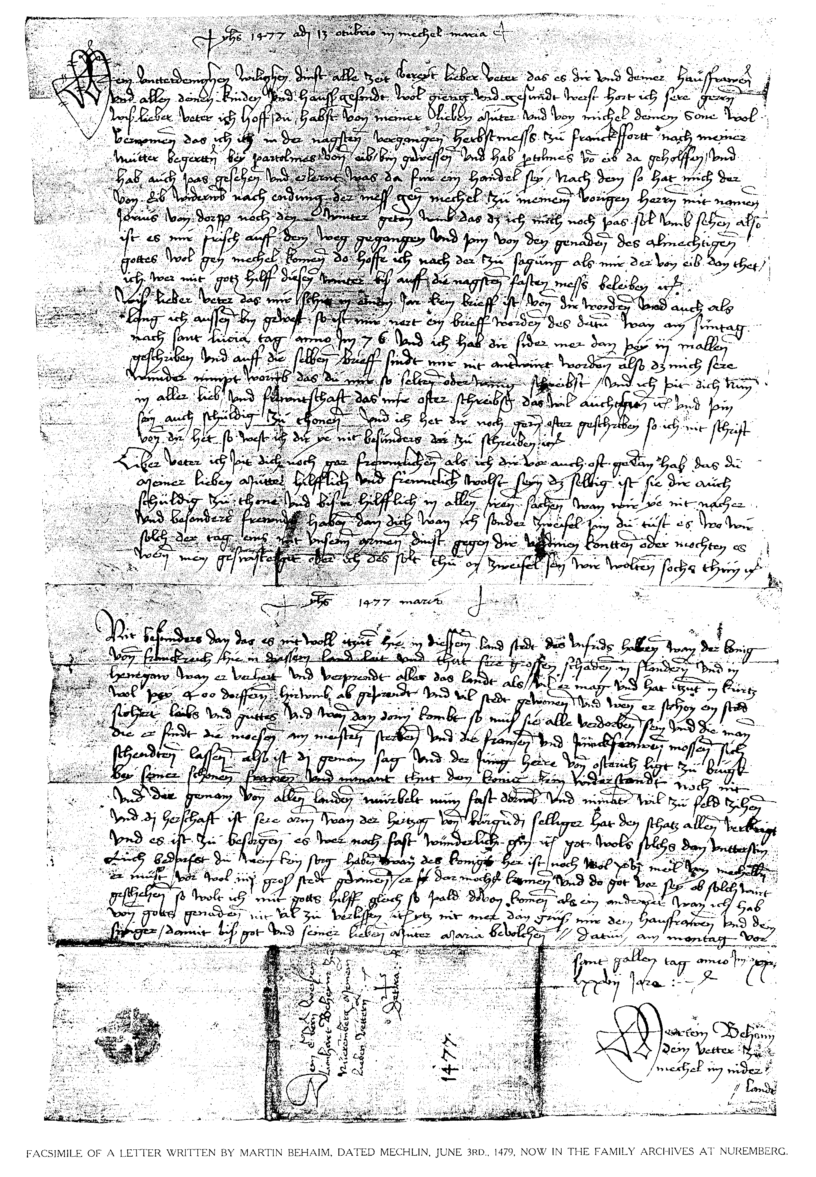
6. Facsimile of a letter written by Martin Behaim,
dated Mechlin, October 13th, 1477, now in the family archives at
Nuremberg
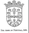
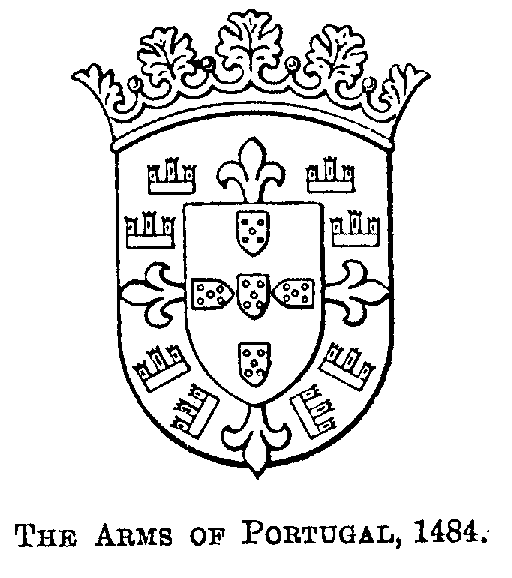
7. The Arms of Portugal in 1484
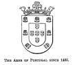
[7. The Arms of Portugal in 1484] and 1485

8. The Padrão of Cape Cross, 1485
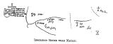
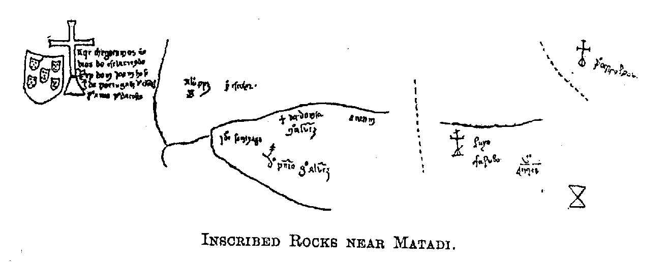
9. Rock inscriptions on the Lower Congo relating to Cão's voyage of 1485-1486
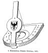
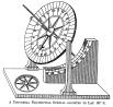
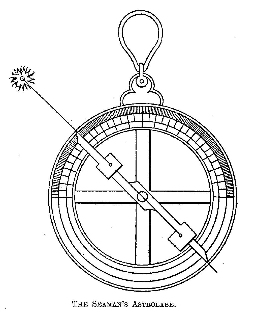
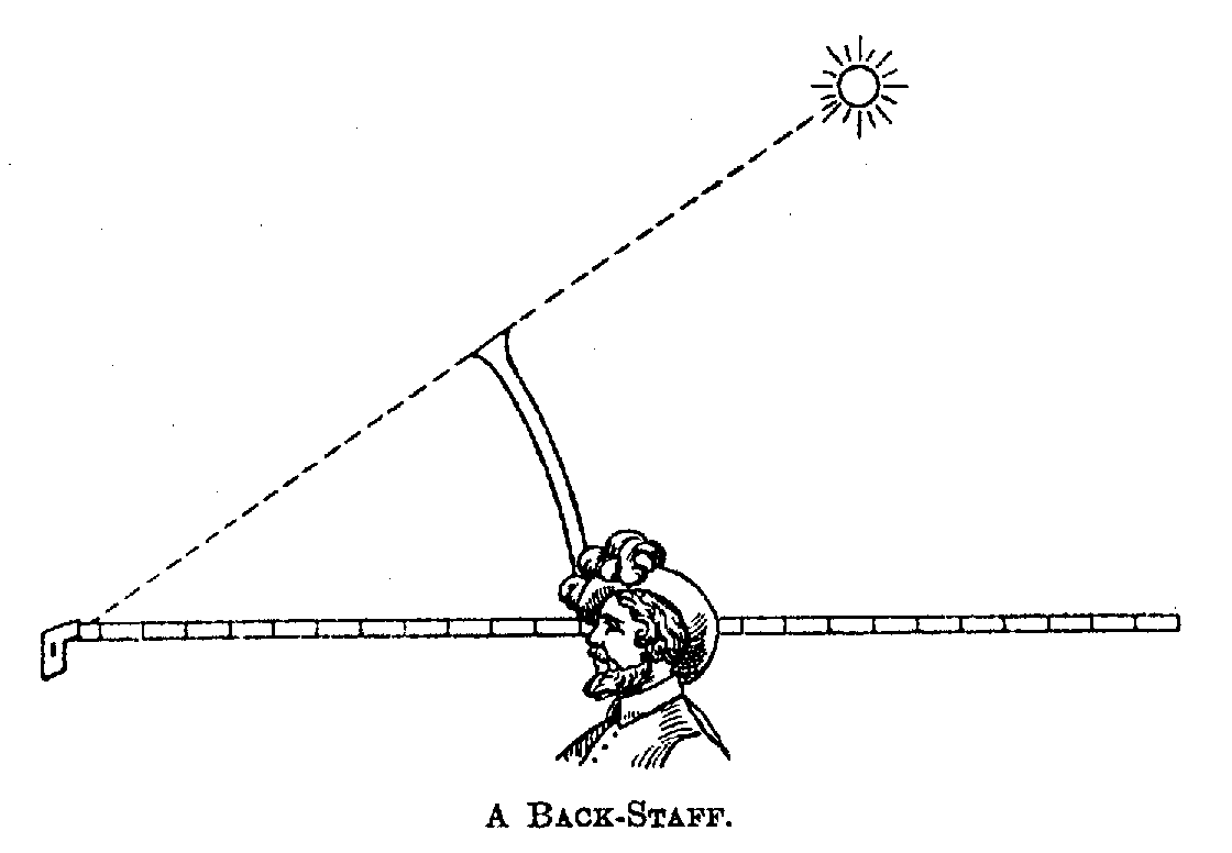
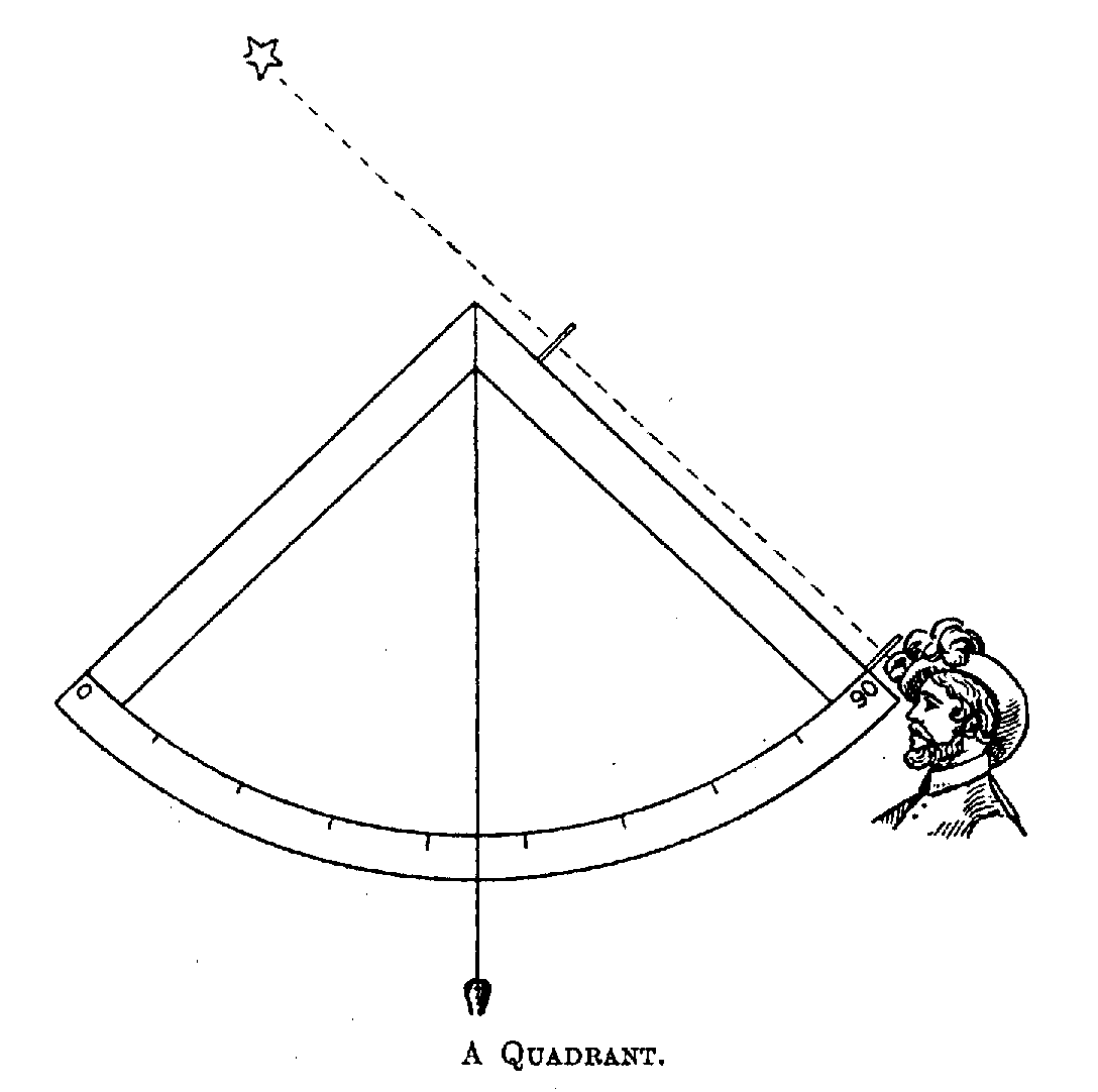
10-17. Illustrations of astronomical instruments (astrolabes,
quadrant, cross-staff, back-staff, sundials, etc.)

Astrolabe of Regiomontanus
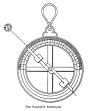
Mariner's Astrolabe
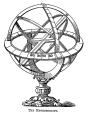
Meteoroscope
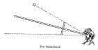
Cross-Staff (Jakobsstab)
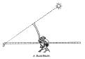
Back-Staff (Winkelmesser)
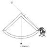
Quadrant
Horizontal Sundial (1451)
Universal Equinoctial Sundial
COLOURED MAPS
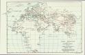
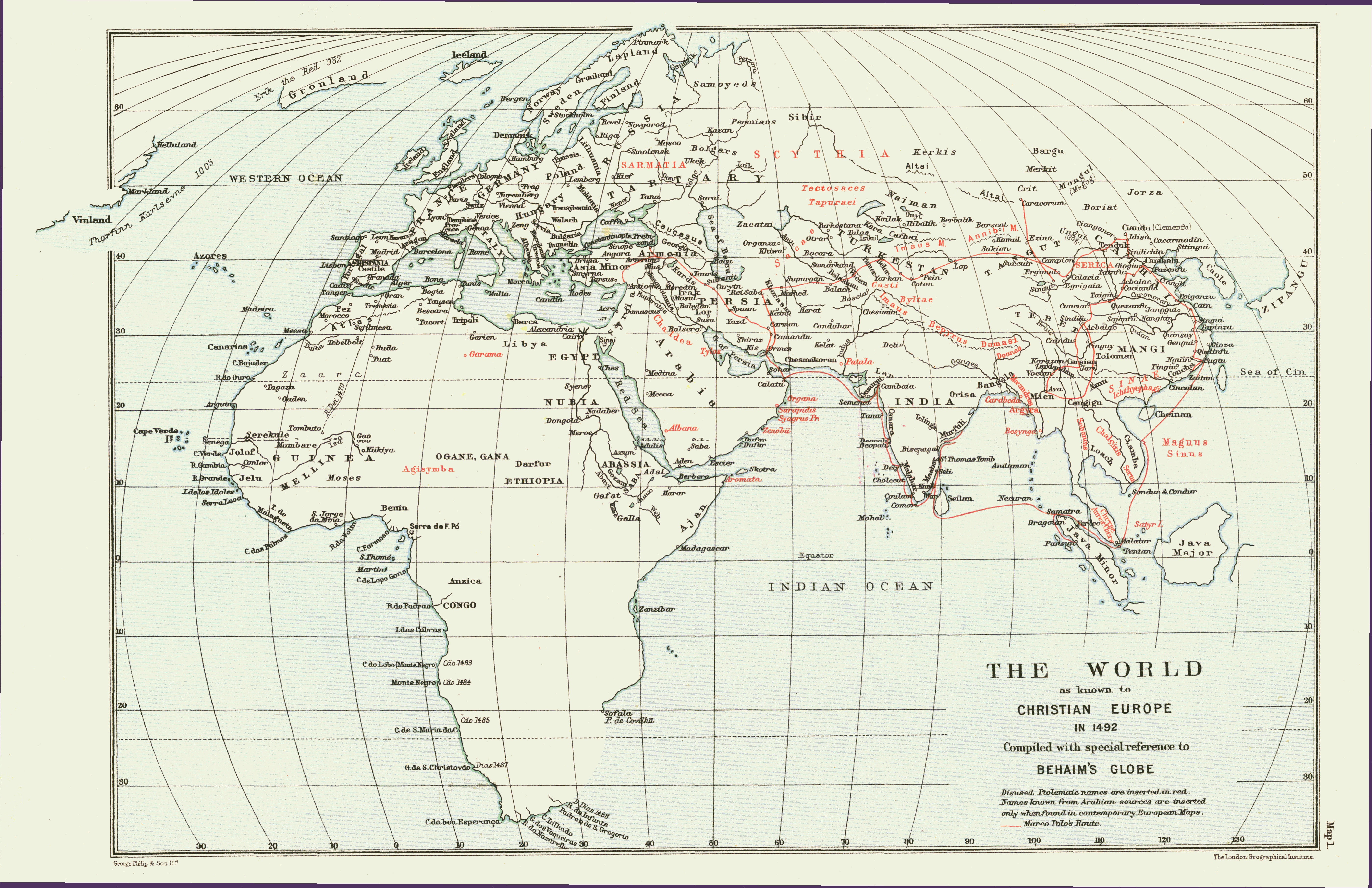
1. The World as known to Christian Europe in 1492

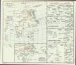
2. The Sources of Behaim's Globe, with six insets
Insets:
(1) and (2): Scandinavia and Head streams of the Nile, from the Ulm edition of Ptolemy, 1482;
(3) Antilia according to Gracioso Benincasa, 1488;
(4) Cipangu according to Behaim, 1492;
(5) and (6) Eastern Asia and Central Africa, according to Waldseemüller, 1507.
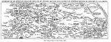
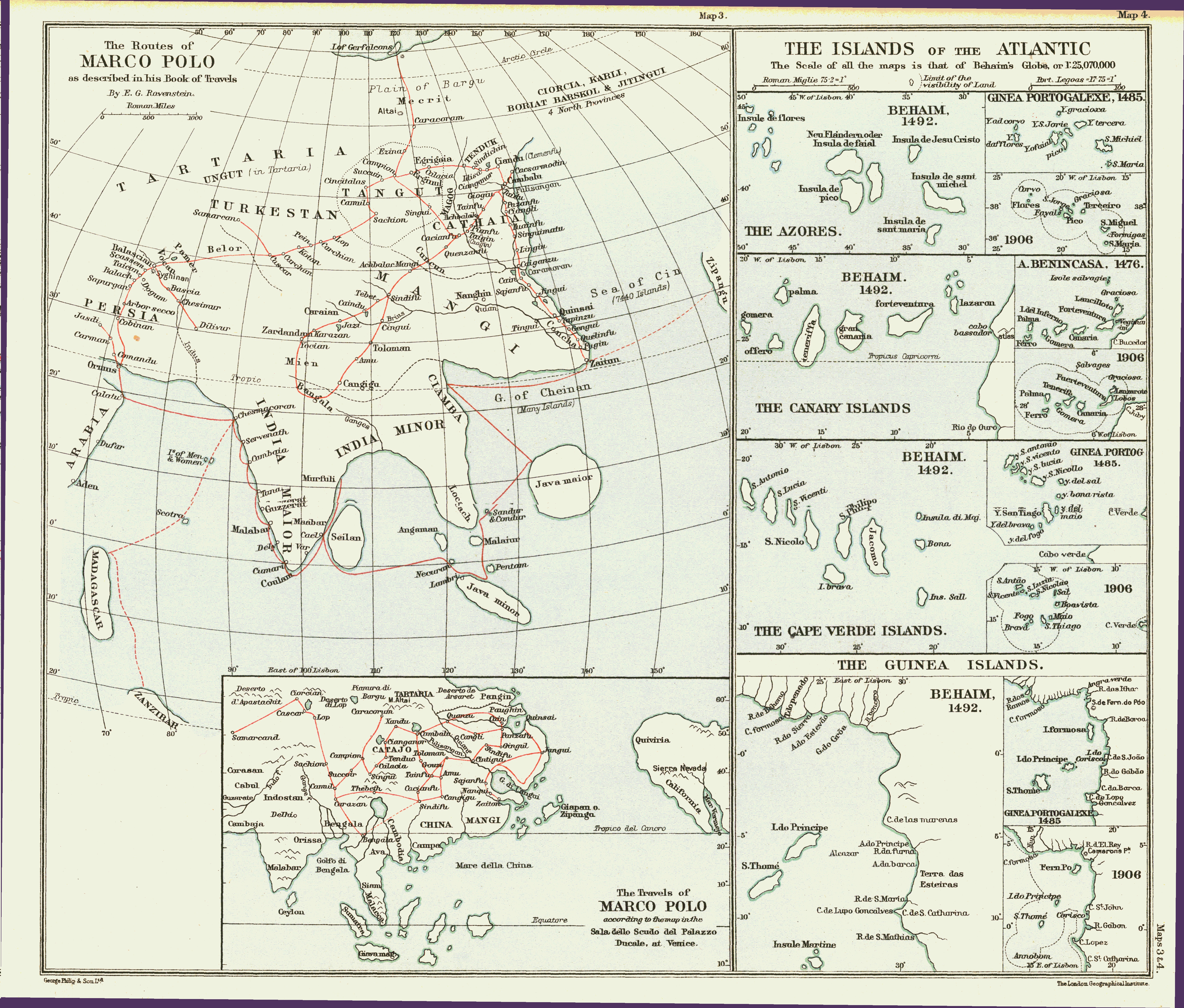
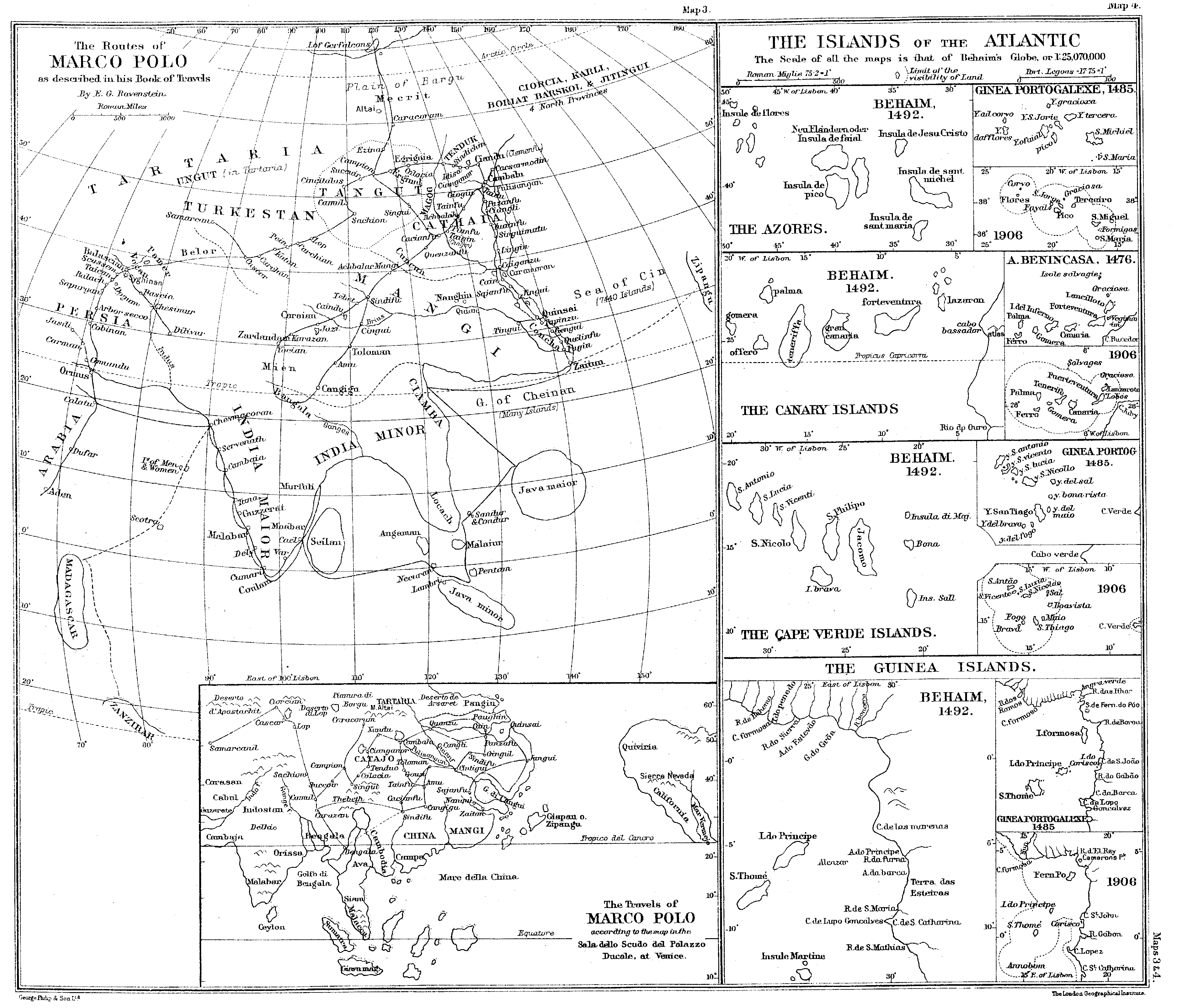
3. The Route of Marco Polo, plotted from his narrative
Inset: The travels of Marco Polo, according to the map in the Sala dello Scudo, Venice.
4. The Islands of the Atlantic (Azores, Canaries, Cape Verde, and Guinea Islands) according to Soligo or A. Benincasa, Behaim, and modern maps

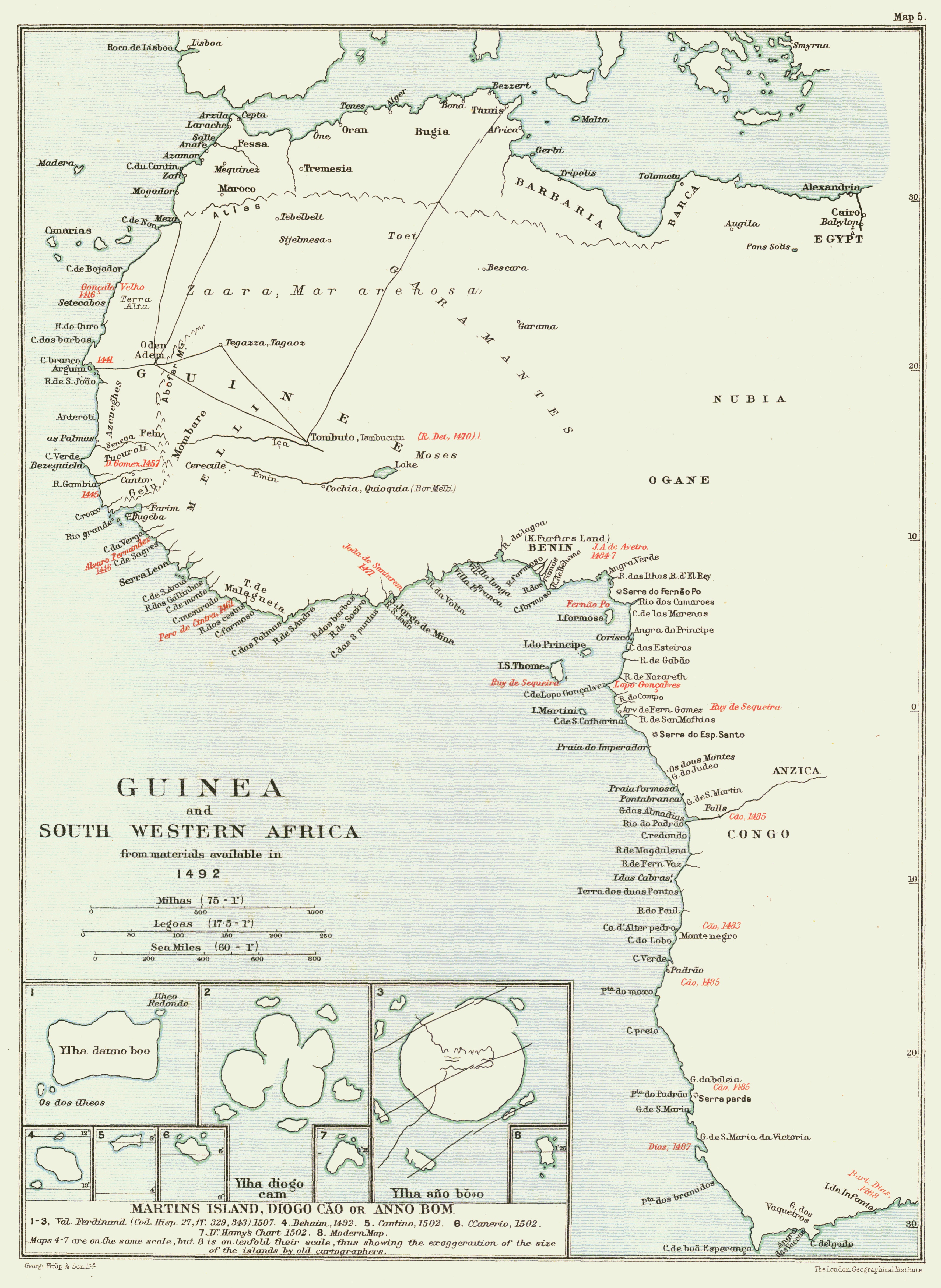
5. Guinea and South-Western Africa, compiled from materials available in 1492
Insets: Eight maps of Martin's island, Diogo Cão, or Annobom.
FACSIMILE OF BEHAIM'S GLOBE
On the scale of the Original. In 4 sheets, size 30 x 24 inches,
folded in pocket inside end cover.
(Printed in colours by W. Griggs.)

Index-map showing the arrangement of the sheets
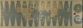
Facsimile in colour: Overview
Images in high resolution

Facsimile: Segments A-D
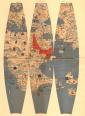
Facsimile: Segments E-G
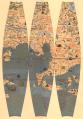
Facsimile: Segments H-J

Facsimile: Segments K-M and Polar Caps
MAPS IN TEXT
Catalan Map of the World, 1375

The World according to Fra Mauro, 1457
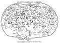
The World according to Henricus Martellus Germanus, 1489
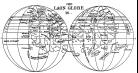
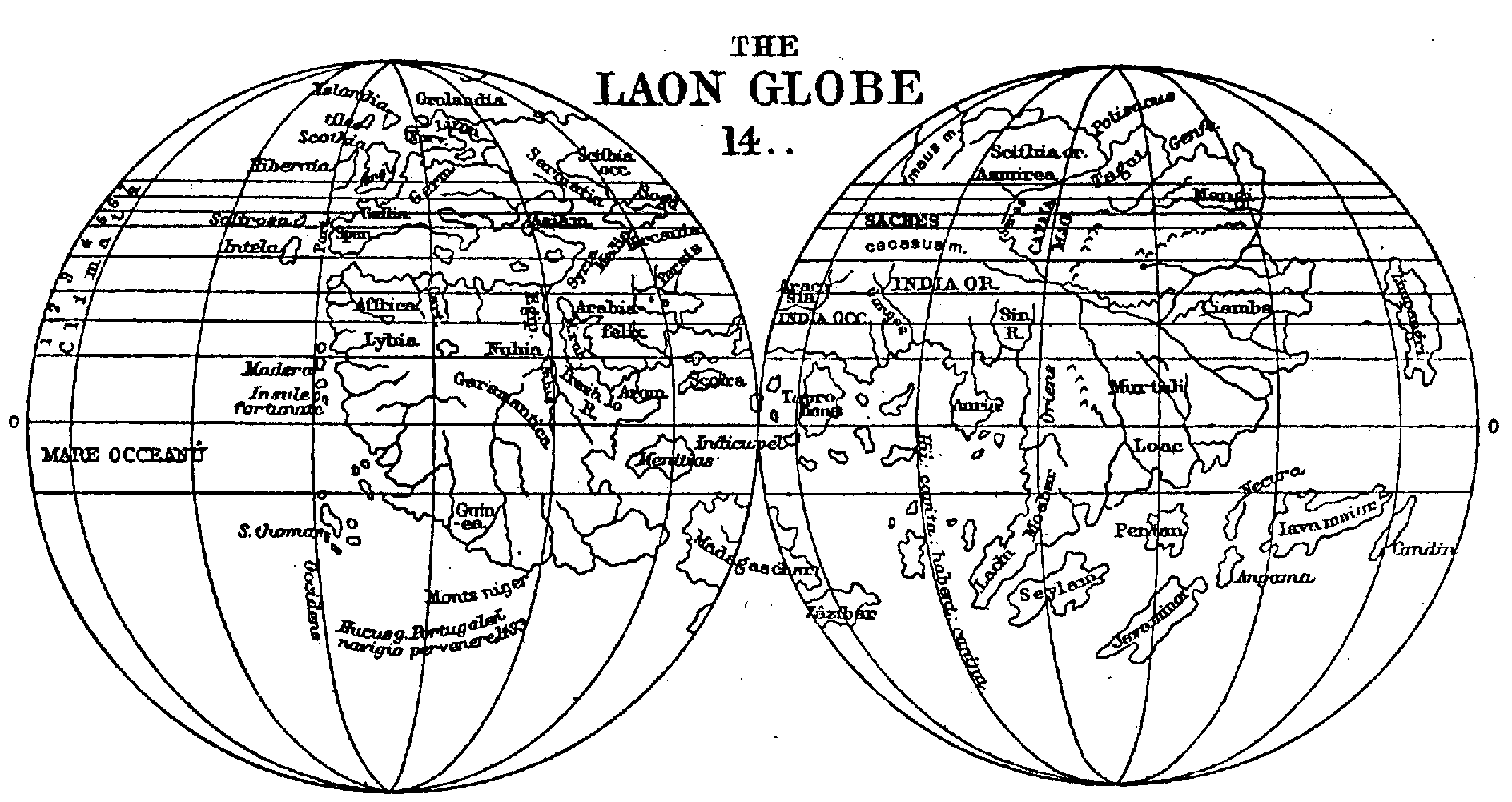
The Laon Globe, 14--

Ten Maplets illustrating the Discovery of South America, 1500-1517
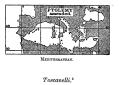
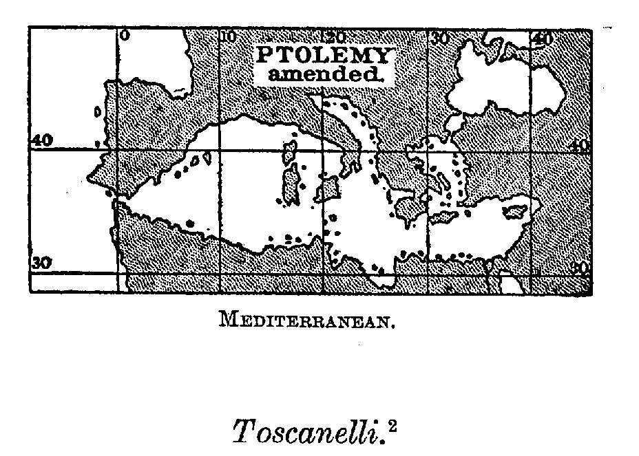
The Mediterranean: Ptolemy amended


